France > Occitanie > Lozère > 48150 > Meyrueis
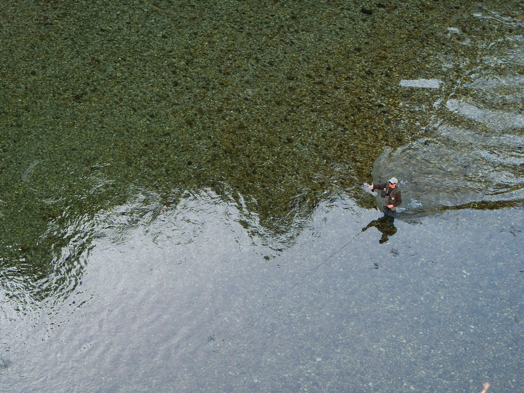
The Jonte River originates in the Aigoual massif, at the extreme south of Lozère. Flowing over metamorphic and crystalline terrain, it reaches Meyrueis, a village upstream of which it is still in the state of a large stream. Insiders say that the trout are wild and are not easily caught. Classified 1st category, the Jonte is defined as technical and sportive.
The Jonte river originates at an altitude of 1200 m, on the northern slopes of the Aigoual massif. Flowing over metamorphic and crystalline terrain, it reaches Meyrueis. The Jonte grows in size, swollen by the waters of the Brèze and Béthuzon streams, before entering its limestone gorges from which it will only leave 22 km further downstream, at its confluence with the Tarn, at Le Rozier. In all the gorges, the physico-chemical qualities of the limpid waters of the Jonte, with a high calcium content, are very favourable to the development of a very important aquatic micro-fauna. The environment is therefore quite favourable to the development of a beautiful brown trout. The density of trout is at a maximum level rarely reached! The Jonte is classified in 1st category.
A proximité:
Datatourism data updated on: 2024-01-18 18:01:12.061