Copyrights Dylan Gambari
France > Provence-Alpes-Côte d'Azur > Vaucluse > 84120 > Pertuis > 44, Place Saint Pierre
Four walks in Pertuis that will allow you to discover the city and its surroundings.
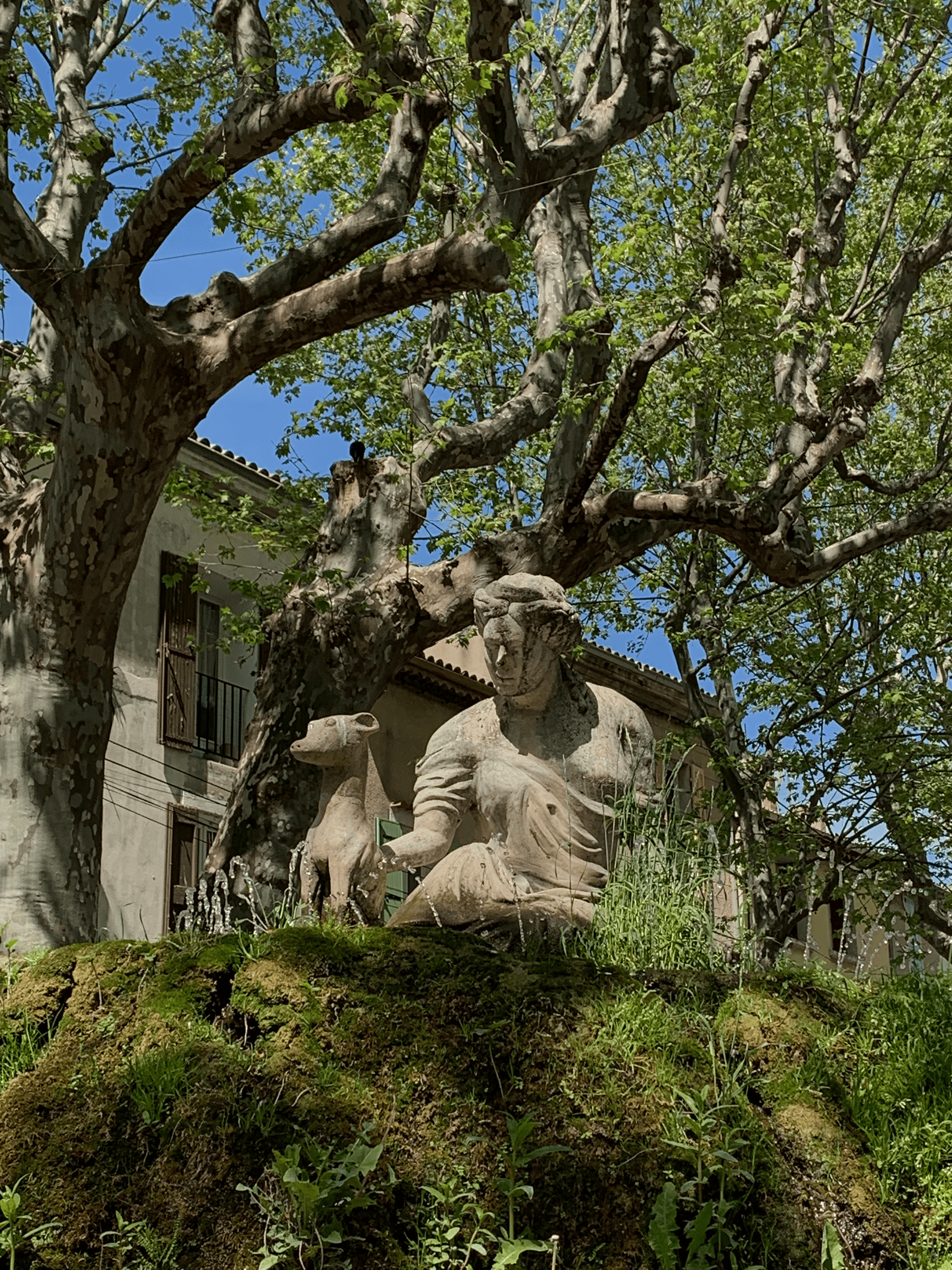
WALK N°1 - THE BALCONIES OF PERTUIS 6 to 7 Km - 2h30 Easy Leaving the Tourist Office, take the François Morel street, cross the Mirabeau square, pass in front of the fountain surmounted by the statue of Mirabeau and continue on the Danton street, 1st on the right, cross the September 4th square. Walk along the house with columns (public granary 1857). Turn right onto rue des Remparts, you arrive in front of a mosaic tryptic that required hundreds of hours of work, made in 2020 by Wolf Madet, resident of Pertuis. Symbol of the coat of arms of the city in 1493, it represents Elion Senoni, consul of Pertuis and the King Charles VIII. Go down the street, you arrive on the large free parking with direct access to the city center via a public elevator. After the big parking, on your left. Cross the ford of the Eze on the footbridge largely inspired by the works of Gustave Eiffel, then the Bd Jean Guigues (RD119). Take the Saint-Joseph road in front of you and follow it until the junction with the RD56 which you will take for 350 meters. On your left, the path of Bousette, follow it until a crossroad with a tarred road (sign). Cross the road and continue on an unpaved path. There is a small path on your left: either you take it (it goes between vineyards and woods) or you continue and go around the place called "Méléde". You pass under a big pine tree. In both cases, you arrive on a tarred road. Turn left in the direction of Saouzé (2km). Follow this road until you reach a bend on your right (former Jewish cemetery), planted with olive trees. Sign Pertuis. From there, to guide you would be an insult.. WALK N°2 - PATH OF SAINT COLOME 6.5km - 2h30 Easy Follow exactly the same itinerary as for walk N°1... Until the junction with the RD56. Go back down 100 meters, on your right. Cross the RD56 and take on the left a small tarred road which goes up. Continue towards the North for 1.5km (view on the top of the Luberon). 200 meters after an isolated house, take the first paved road on your right. Magnificent view on Pertuis, and further away, the Sainte-Victoire. Follow this path for 1km, during which you will have crossed the RD9 (route de la Bonde). Go straight ahead and turn right at 90° on a dirt road then on a tarred road towards Saint Colomé. Continue until you reach the RD9 that you have already crossed previously. Once you reach the road, turn left to the Lattre de Tassigny traffic circle. From there on, it would be an insult to guide you... WALK N°3 - LE TOUREL 10km - 3h30 Easy Leaving the Tourist Office, take rue François Morel, in the middle of the Place Mirabeau, turn left towards the Hôtel de Ville. Go down Voltaire and Durance streets, then take the second left, rue Murette. You will arrive at Place de la Diane, the oldest known watering place in the city. At the traffic circle, turn right into rue Résini, pass the Maison de la Culture et des Associations and just after on your left, the VC N°6 de l'Espigon. Take this tarred road. Pass under the new bridge and continue until you reach an important crossroads. On your right is the old convent occupied by monks until 1774, then rehabilitated as a farm by François de Bruny, Baron de la Tour d'Aigues, which is now a private property. At 350 meters, pass by a magnificent oak tree, continue. 750 meters further, there is a crossroads to return to Pertuis, on your right (only 4 to 5 km left!). A very pleasant little asphalt road with cherry trees in bloom in spring. It leads you to the big Pompidou traffic circle (or traffic circle of the heart). Take the avenue de Verdun for a return to the city center. WALK N°4 - THE STONE MAN 10 to 11Km - 3h30 Easy Follow the same itinerary as walk N°3, until you reach rue Résini where you take rue Bonnemaison on your right. At the big traffic circle of the college, cross and continue on Bonnemaison street then Pierre Augier, in the direction of the swimming pool and the campsite. Go past them and dive into the valley. Viewpoint on the Sainte Victoire. Go towards the coast 237. Continue straight on towards Condamines at 1.5km. There, at the agricultural water point, turn left (hairpin), continue on the small tarred road for 1.5km until the pumping station. On the right, by the road of Claux 125, reach the Beaupré housing estate. Cross it and follow the road to the RD973, there cross, and almost opposite you will find a small pleasant road which will bring you on the return of the stroll N°3, by the Pivoulier towards the center of Pertuis. The four walks are practicable in VTT.
Copyrights Dylan Gambari
A proximité:
Datatourism data updated on: 2024-05-15 05:07:33.954